Heavy rain like a shower in the sky… The daytime temperature is over 31 degrees and the heat does not go away

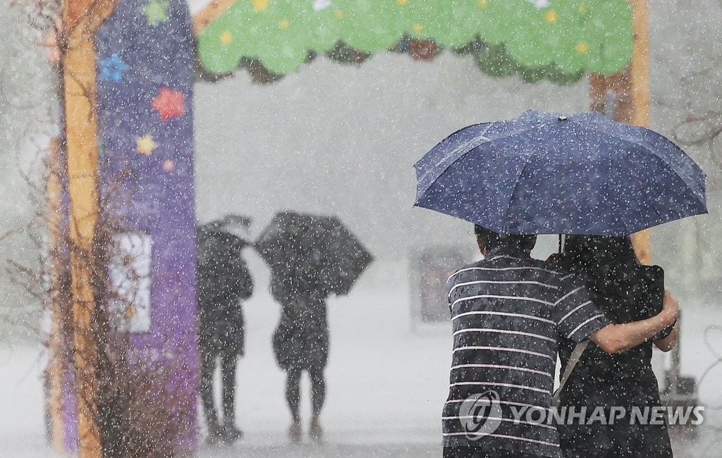
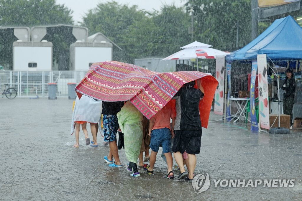
There will be torrential rain across the country as if a shower was turned on in the sky.
As of 7:00 am on the 10th, thunderstorms with gusts are falling at a rate of 30 to 60 mm per hour in eastern Gyeonggi Province, inland Gangwon Province, North Chungcheong Province, South Jeolla Province, and inland North Gyeongsang Province.
Heavy rain warnings are currently issued in the central region, the western part of Jeonnam, and the interior of northern Gyeongsangbuk-do.
Hail was detected in some areas, but ‘July hail’ is a very unusual phenomenon that appears because the atmosphere is very unstable.
It has been raining heavily since early morning.
In the case of Jeongan-myeon, Gongju-si, Chungcheongnam-do, it rained 63 mm in an hour before 5:24 am and 98 mm in the previous 3 hours. If this was the metropolitan area, it would have been classified as ‘extreme heavy rain’ and an emergency disaster text message would have been sent.
From this summer, when it rains that meets both the standards of ’50mm in 1 hour’ and ’90mm in 3 hours’ in the metropolitan area, the Meteorological Administration is conducting a pilot project to send an emergency disaster text message for extreme heavy rain.
A low pressure trough passes through the northern part of Korea, and there will be heavy and heavy rain in most areas on this day.
When the rain comes pouring down, wind speeds of around 70 km (20 ㎧) will blow momentarily, making umbrellas useless.
The amount of rain that will fall on this day is 20-80mm in the central region (excluding Yeongdong, Gangwon), Honam, North Gyeongsang, and Jeju (southern Gyeonggi, Yeongseo, Gangwon, Chungcheong, Honam, and inland areas of North Gyeongsangbuk-do, more than 100 mm), Gangwon Yeongdong, Gyeongnam, and 5 West Sea provinces. It is expected to be between 5 and 60 mm.
The pressure trough effect is expected to continue until the 12th.
Accordingly, on the 11th, it is expected to rain at a similar level as that day, and the expected precipitation on the 11th is 30-80㎜ in the central region (excluding Yeongdong, Gangwon), Honam, and northern Gyeongbuk (more than 100㎜ in many places in the central region), Yeongdong, Gangwon, and Gyeongbuk ( Excluding the northern inland) · Gyeongnam · Jeju 5 ~ 40㎜.
After the pressure trough passes in the north, it will gradually begin to be affected by the congestion front approaching from China’s Shandong Peninsula. As both the Tibetan high and the North Pacific high pressure expand, they are gradually compressed into a stagnant front that is long from east to west and narrow from north to south.
In the central region, rain is expected every day until the 17th, and in Jeju and southern regions, except for the 13th and 14th, rain is expected. Depending on whether the North Pacific high pressure is expanding or not, the phase of the stagnant front and the timing and concentration of precipitation may change, so it is necessary to check the latest weather information from time to time while preparing for heavy rain.
Even if it rains a lot, the heat won’t go away.

It was hot even during the night, but Jeju and other places are expected to record the night as a tropical night (a phenomenon in which the temperature does not fall below 25 degrees from 6:01 pm to 9:00 am the next day).
The temperature this morning was 21-25 degrees.
At 7 am, the temperature in major cities is 23.2 degrees in Seoul, 23.3 degrees in Incheon, 21.7 degrees in Daejeon, 22.9 degrees in Gwangju, 25.8 degrees in Daegu, 23.9 degrees in Ulsan, and 23.7 degrees in Busan.
Daytime highs range from 26 to 33 degrees, and in most areas it will be above 31 degrees.
A heat wave warning has been issued for most of Chungcheong and southern Chungcheong.
As swells flow into the southern and Jeju coasts for the time being, high waves will rise high enough to exceed breakwaters and seashore rocks, so be careful.
From this afternoon on the far sea in the southern part of the East Sea, winds of 30 to 60 km (9 to 16 ㎧) per hour and waves with a height of 1.5 to 3.5 m will hit the outer sea in the middle of the East Sea from night


